Before and After
Bendway Weir Installation, Courtesy Phil Balch, The Watershed Institute
Courtesy Phil Balch, The Watershed Institute
Bendway Weir Installation,
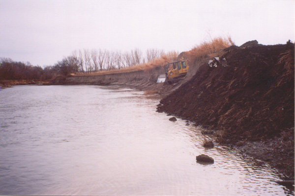
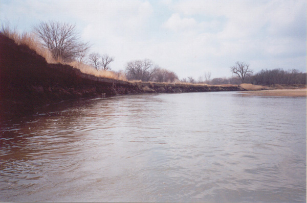
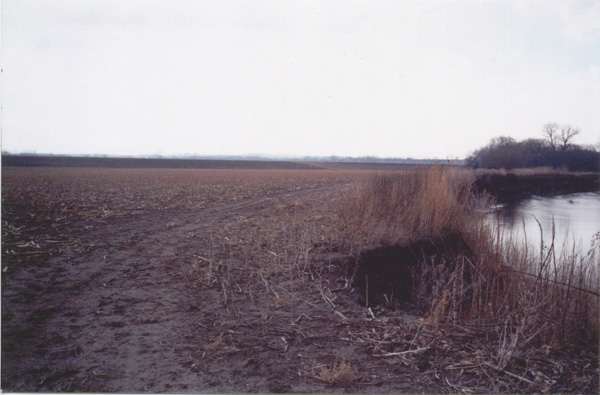
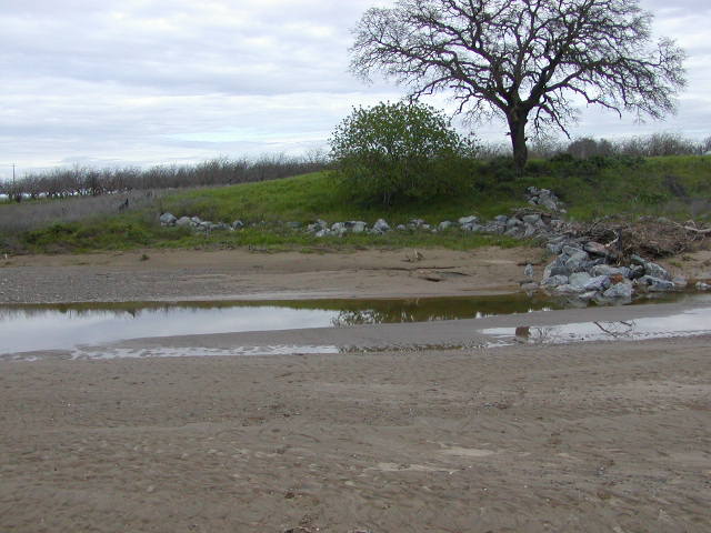
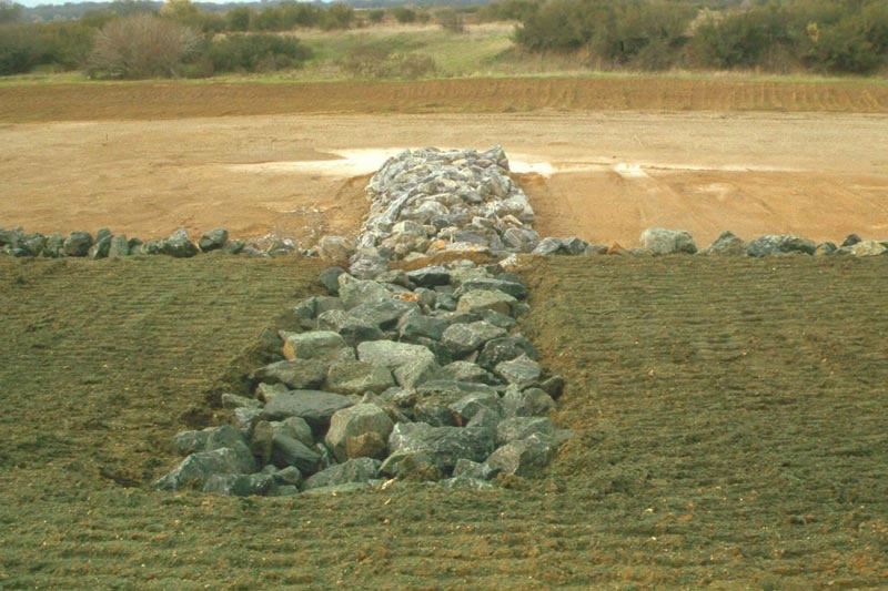
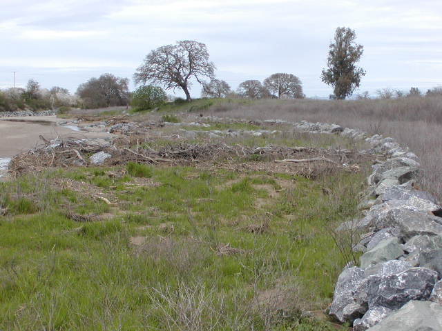
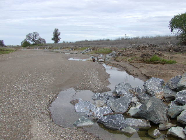
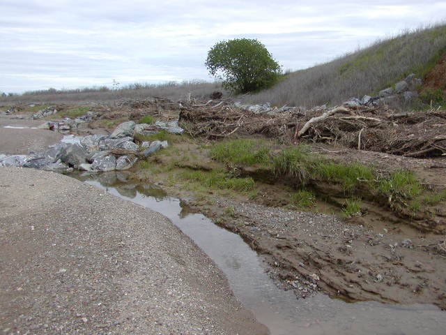
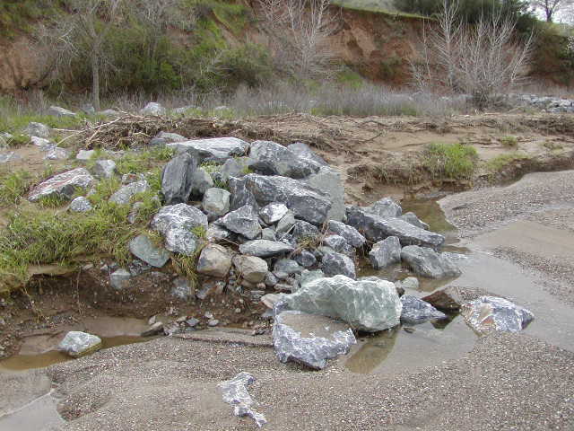
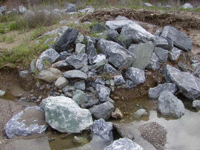
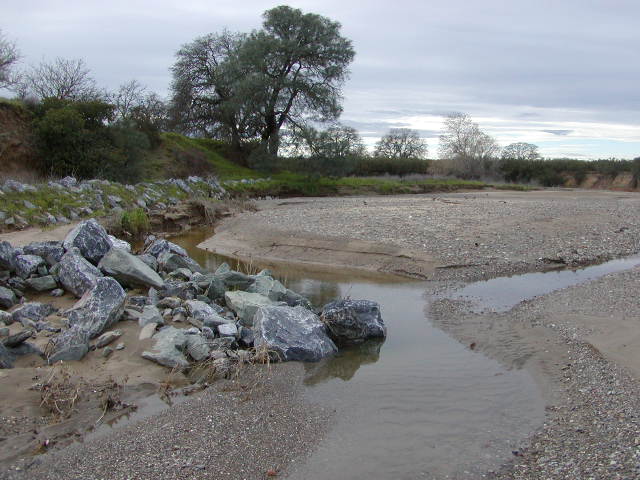
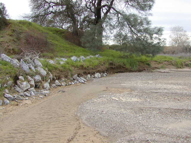
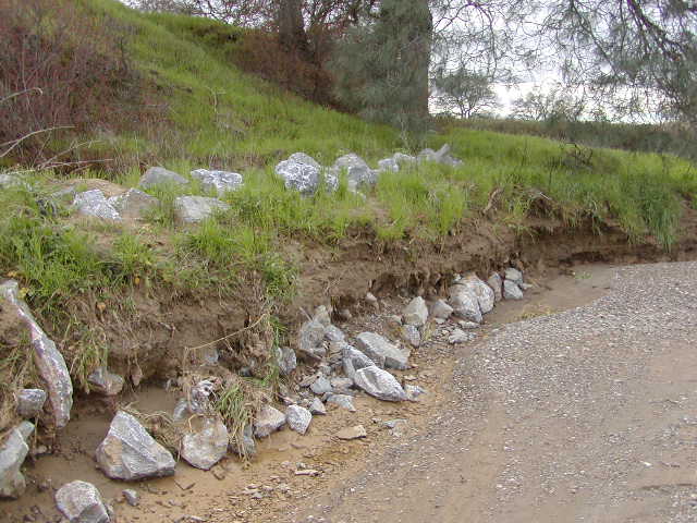
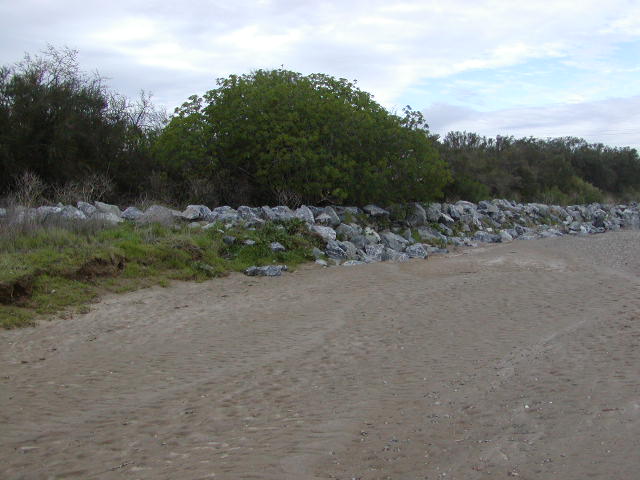
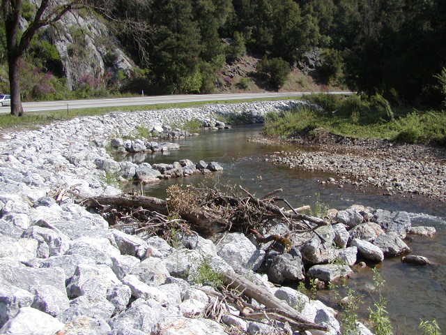
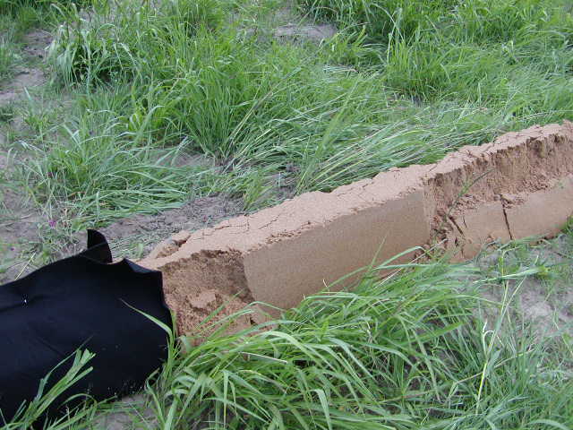
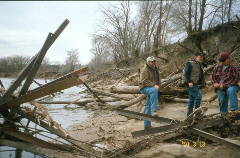
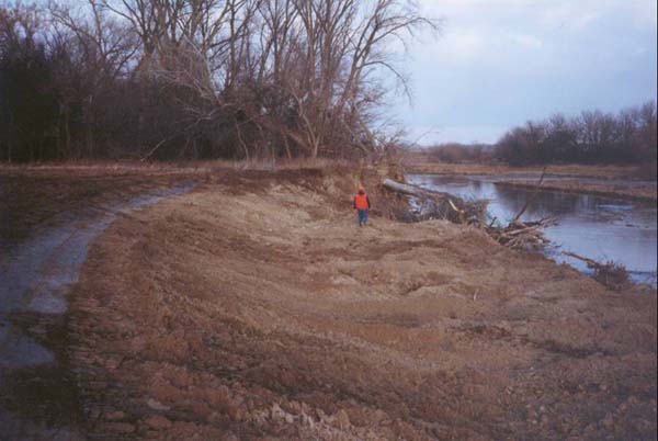
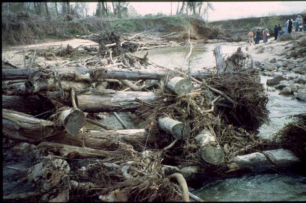
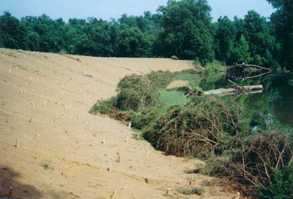
Dunnigan Burn Dump, Yolo County, CA 1999
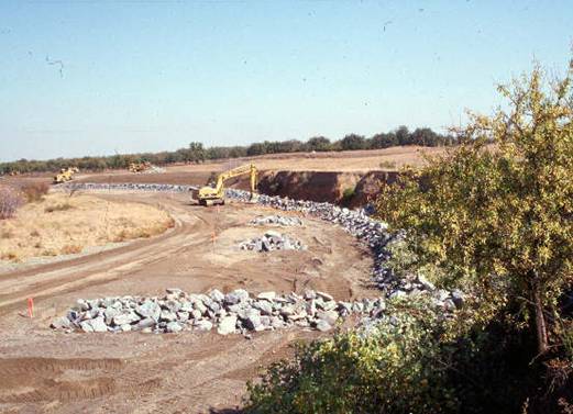
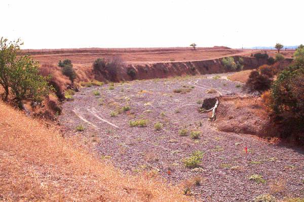
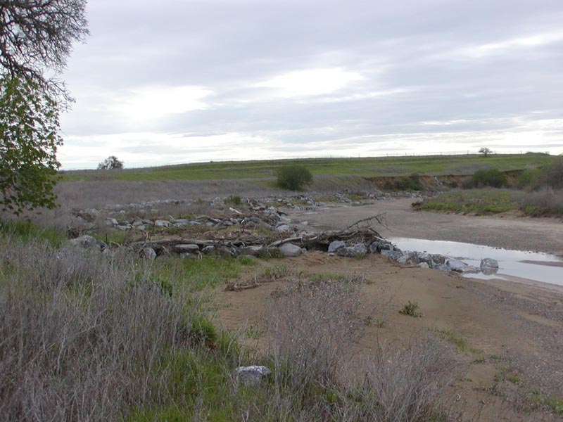
Dunnigan Burn Dump
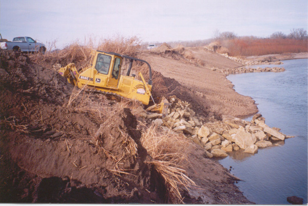
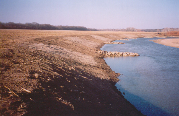
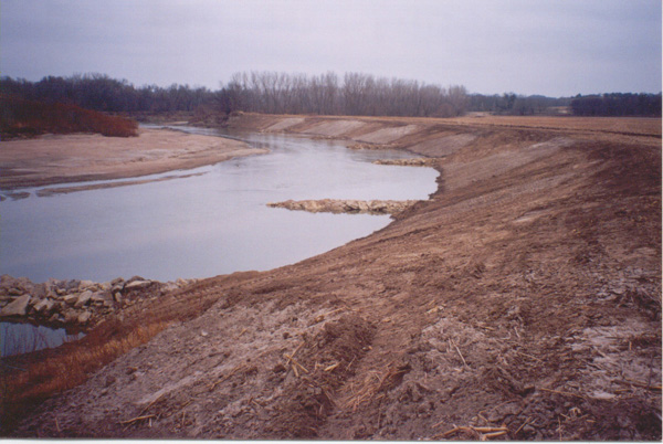
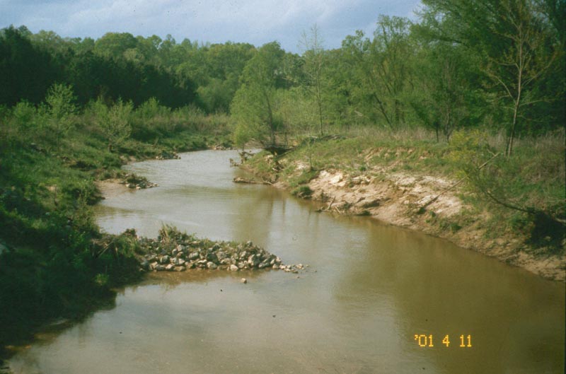
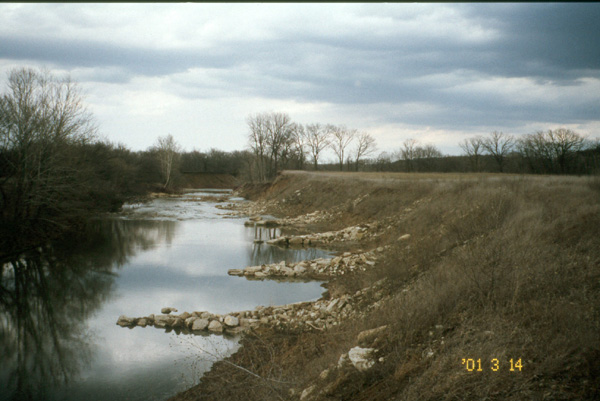
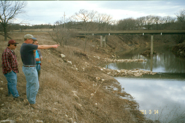
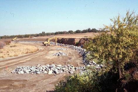
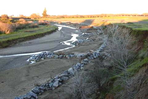
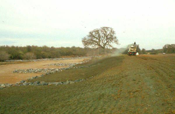
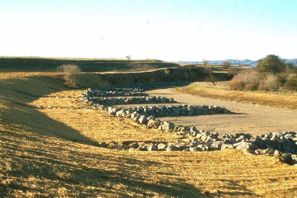
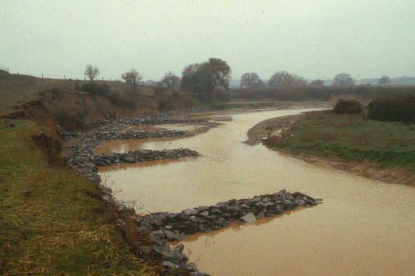
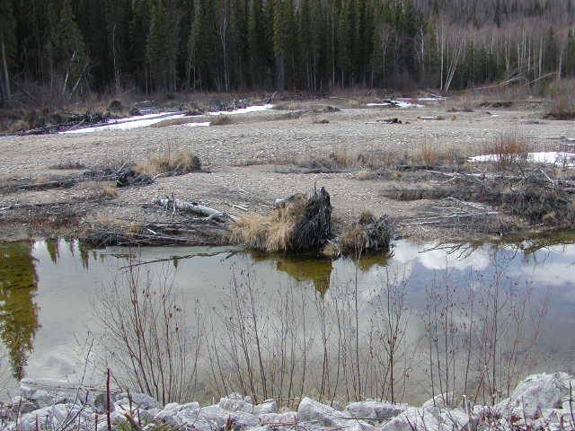
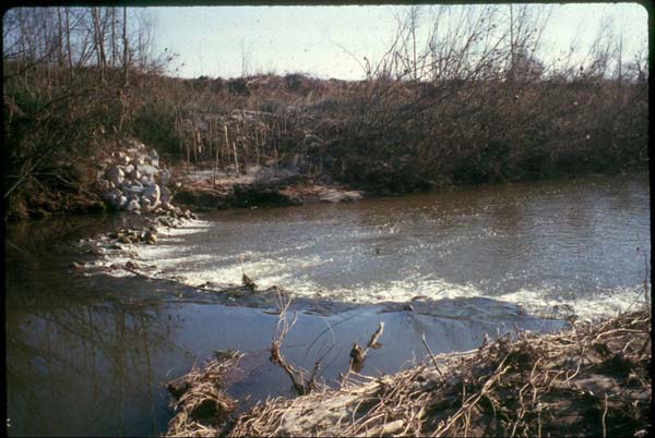
Bendway Weirs, Before, During and After Installation

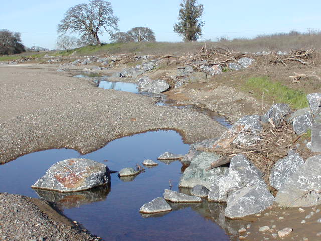
Dunnigan Burn Dump
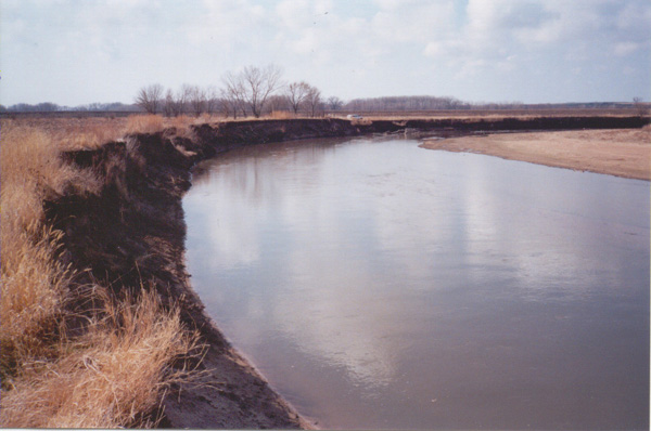
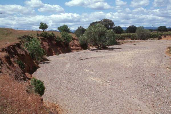
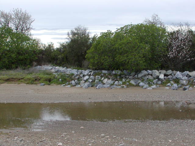
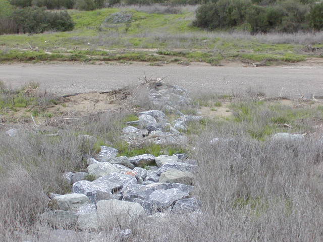
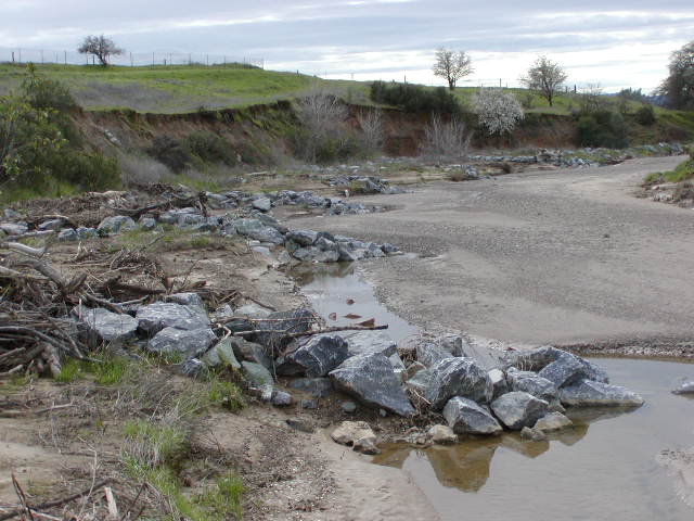
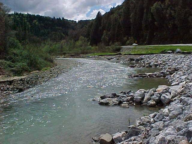
Bendway Weirs, January 2003
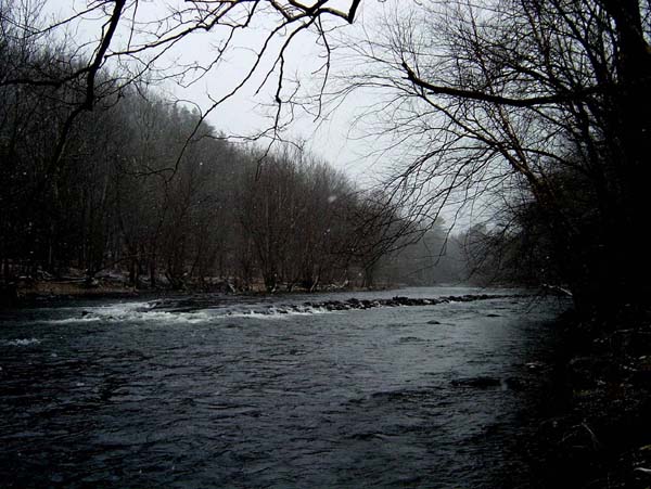
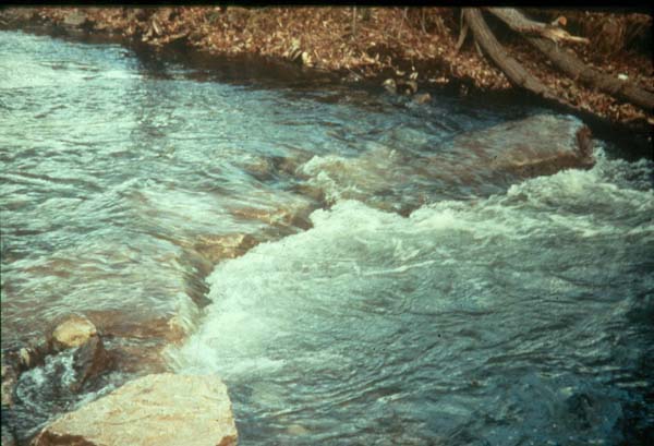
Note the scour pools forming at the tips of the weirs and the deposition between them.
Note the scour pools forming at the tips of the weirs and the deposition between them.
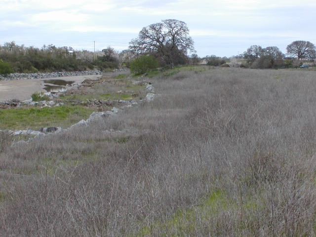
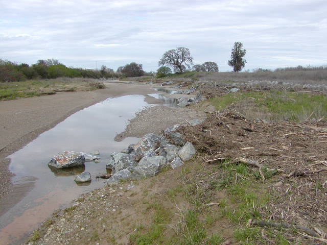
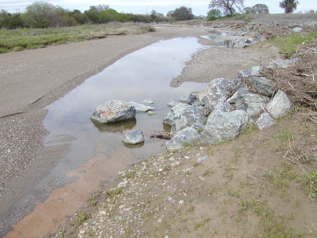
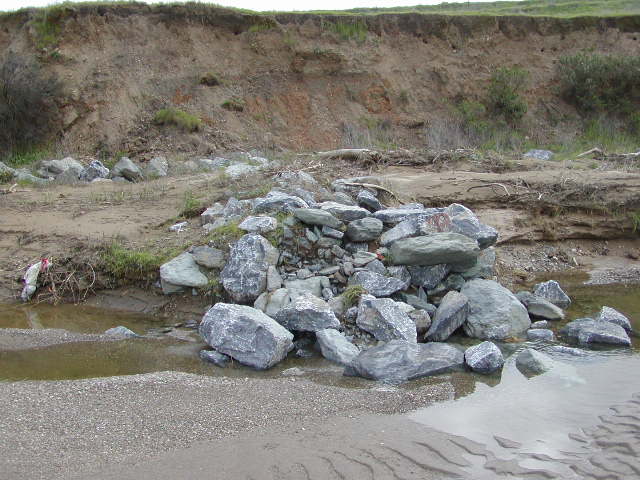
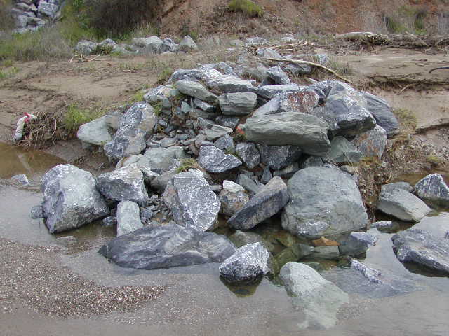
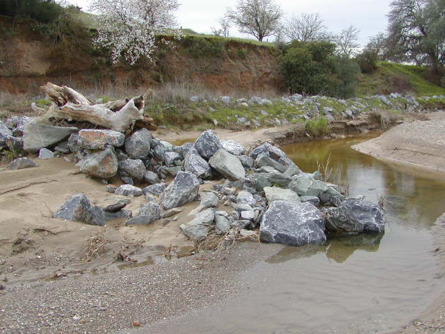
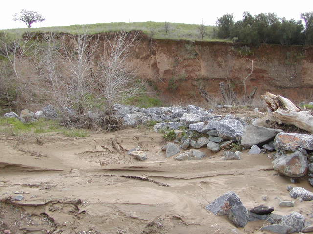
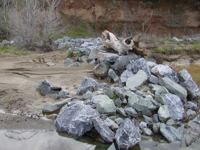
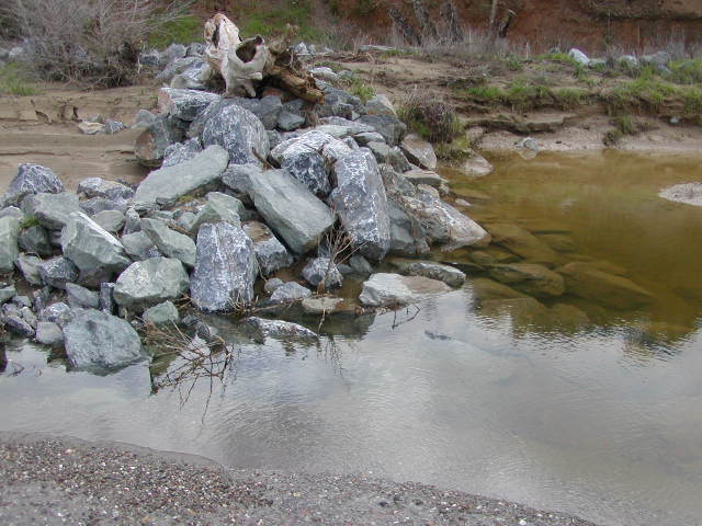
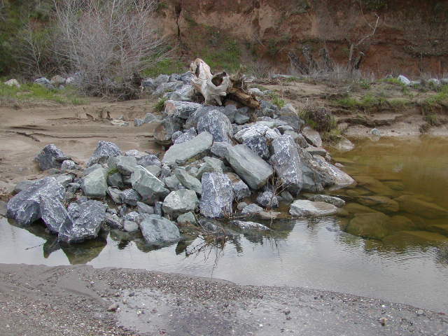
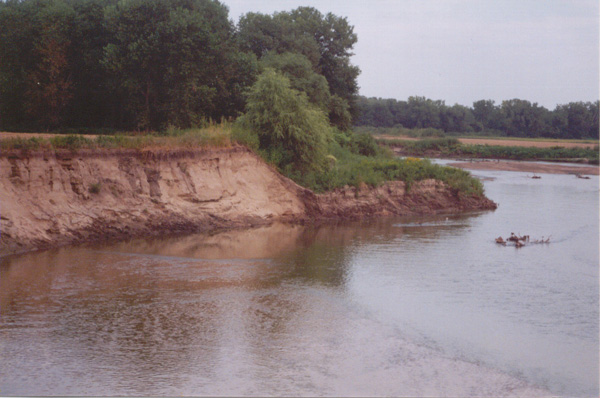
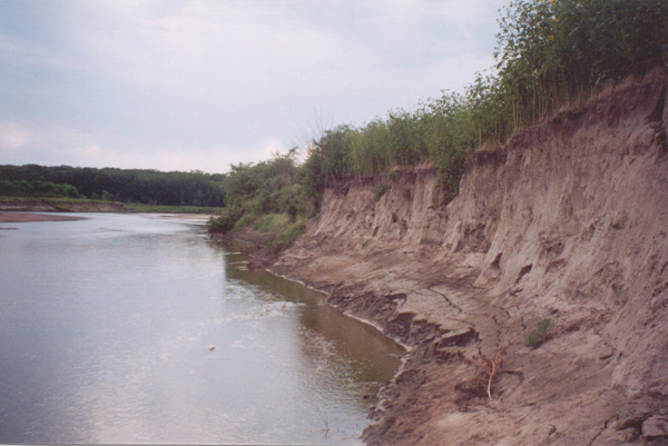
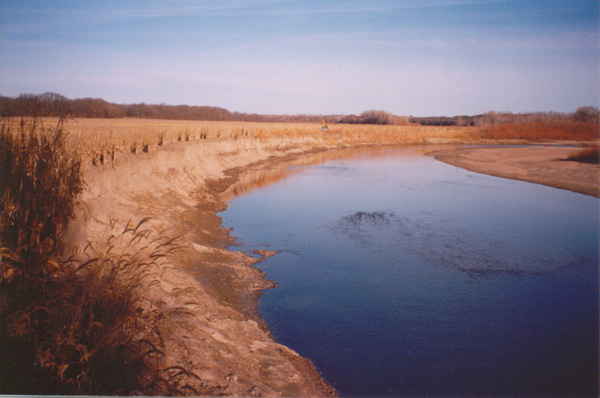
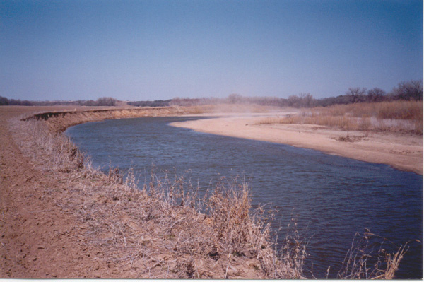
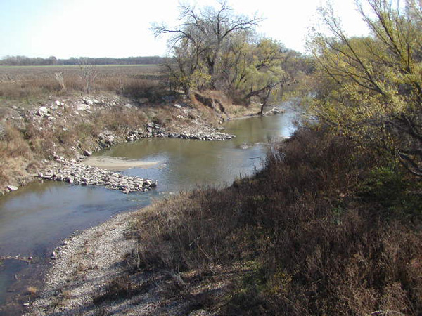
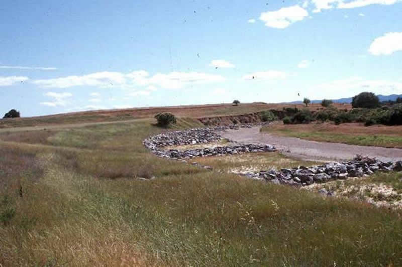
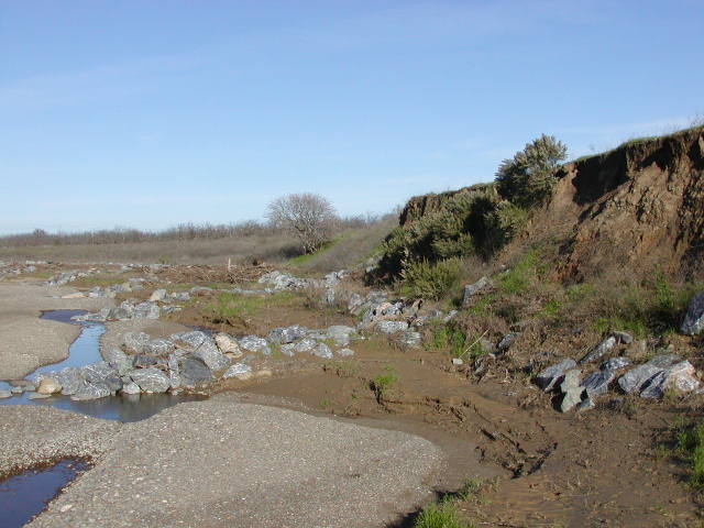
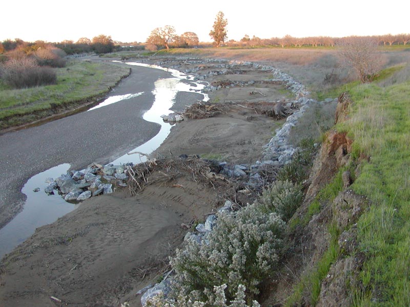
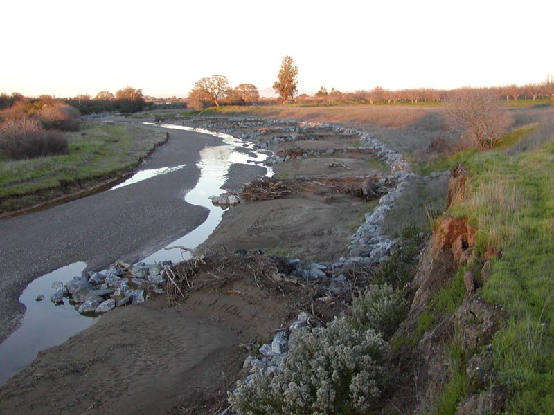
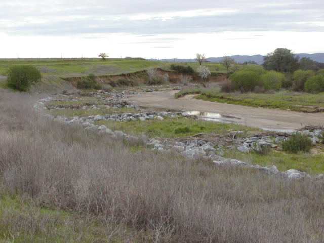
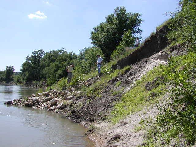
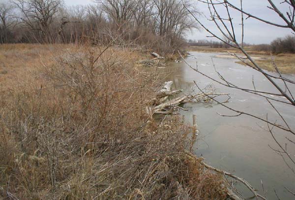
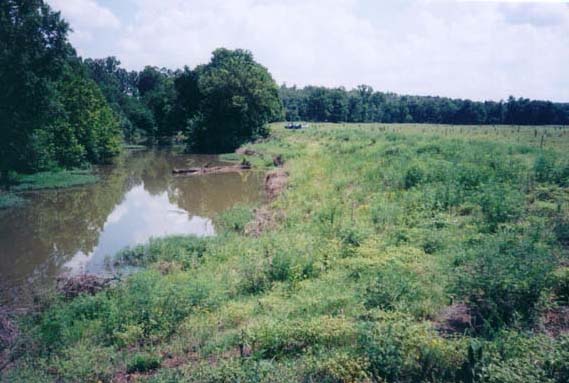
Dunnigan Burn Dump, January 2004
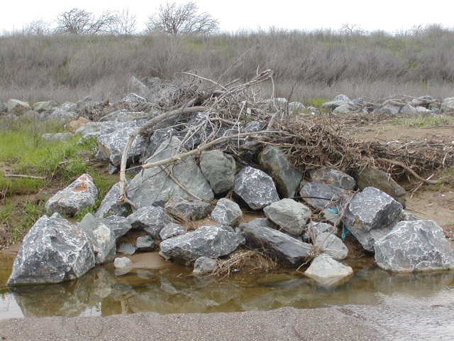
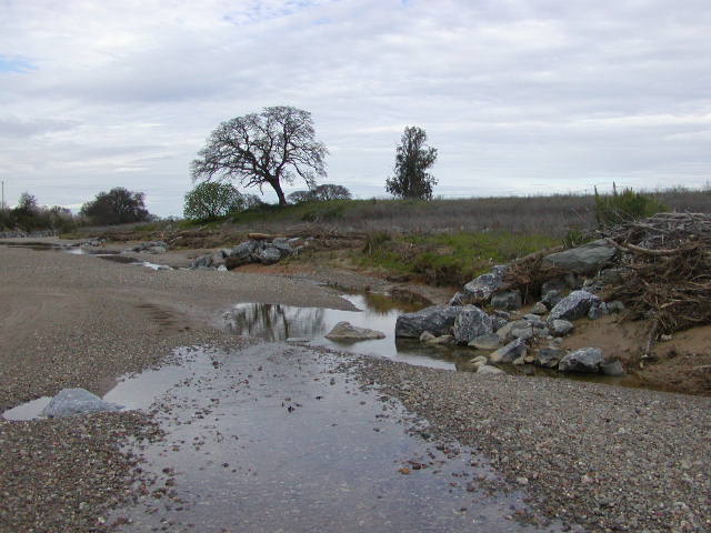
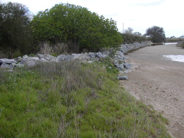
Dunnigan Burn Dump,
January 2004
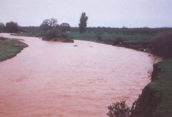
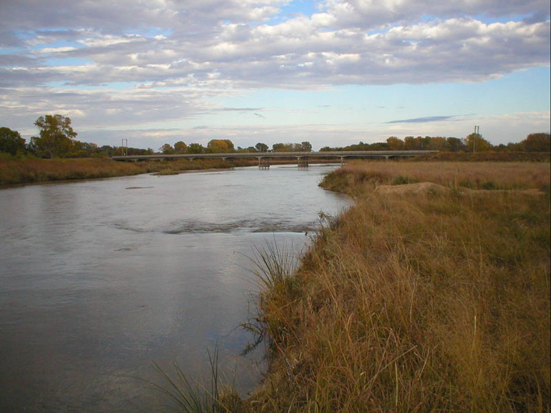
Cedar Creek Bendway
Weirs
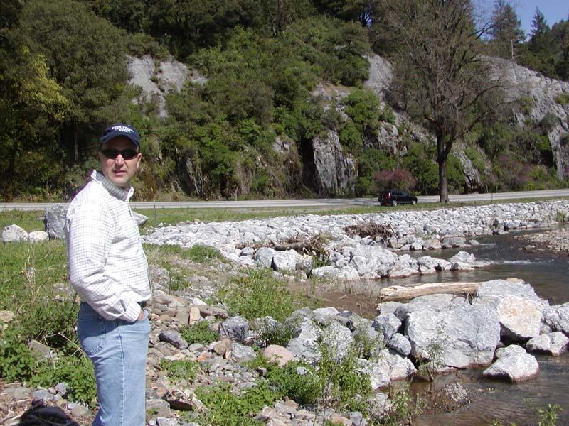

Tim
Hess, Transportation Research Board, at Cedar
Creek Bendway
Weirs, 2004
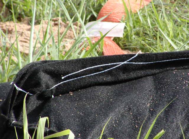
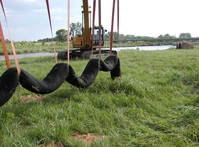
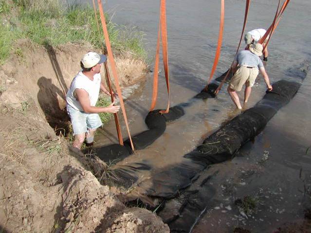
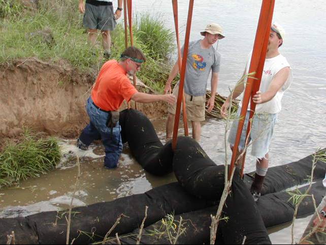
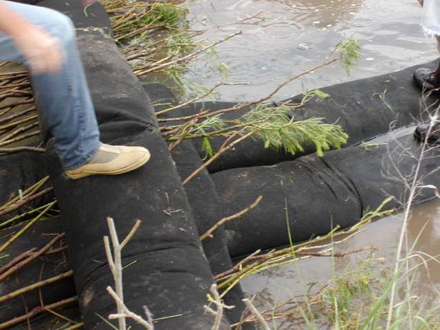
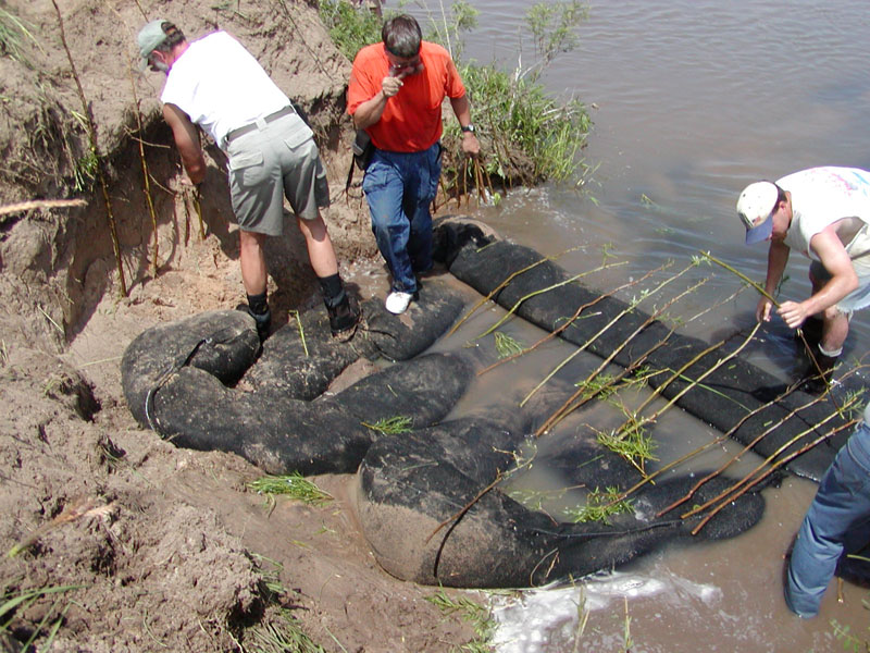
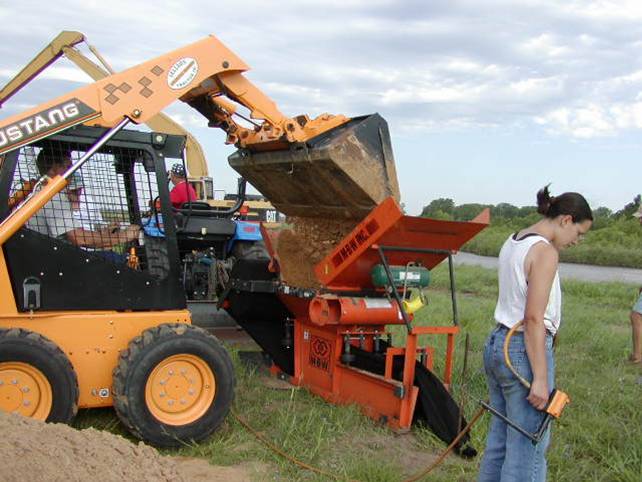
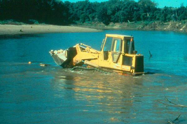
Geotextile Bendway Weir Installation,
Ninnescah River, Kansas, 2003
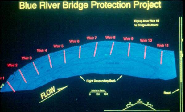
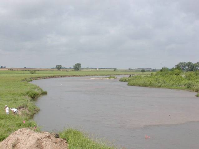
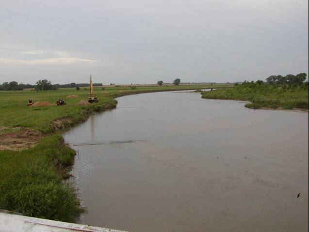
Barnes Road Bridge, near Manahattan,
Kansas.
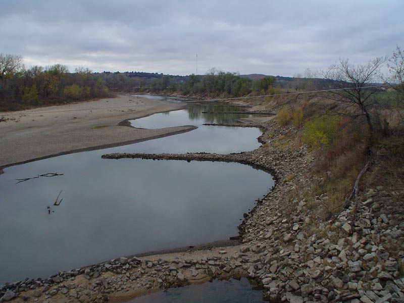
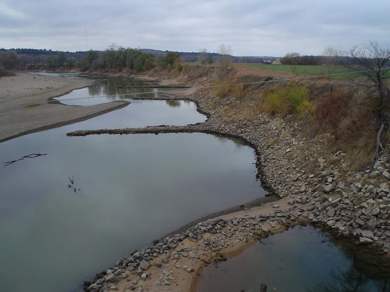
There are 11 Bendway Weirs, spaced 215 ft apart. The bank rock goes from Weir 10 (DS 400 ft) to the bridge, and rock is up to the 10 yr flood event. There is no other rock on the bank except for the keys, which are buried. This river is a navigable river by law for pleasure, therefore the weirs are designed to be 2 ft under the base-flow water elevation.
There are 11 Bendway Weirs, spaced 215 ft apart. The bank rock goes from Weir 10 (DS 400 ft) to the bridge, and rock is up to the 10 yr flood event. There is no other rock on the bank except for the keys, which are buried. This river is a navigable river by law for pleasure, therefore the weirs are designed to be 2 ft under the base-flow water elevation.
Series Courtesy Phil
Balch, The Watershed Institute

Courtesy Phil Balch,
The Watershed Institute
Workshop Notes, Courtesy David
Derrick, USACE
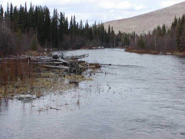
Natural LWD, Chenai River, Alaska
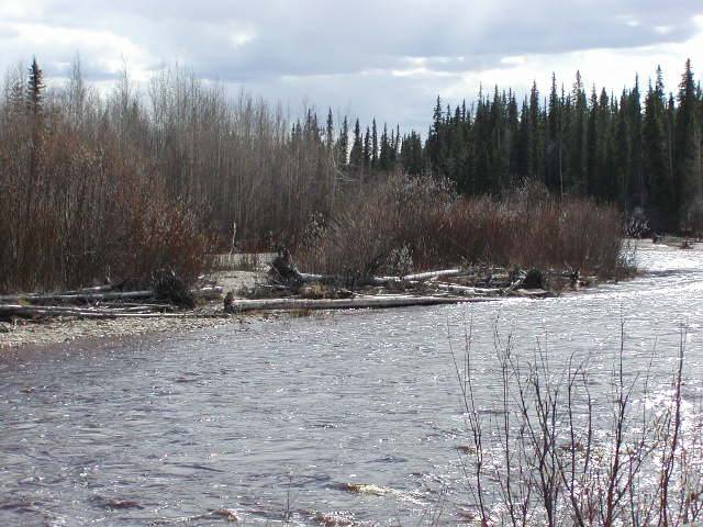
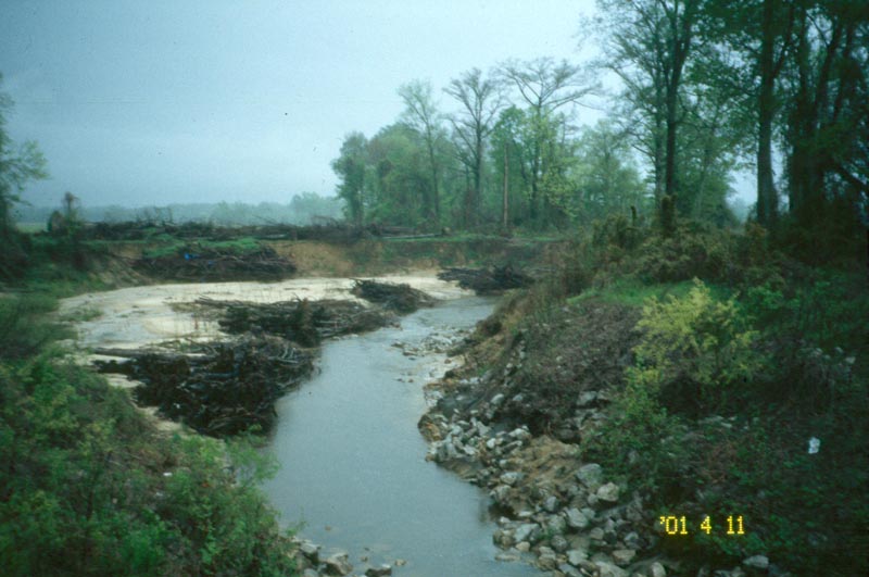
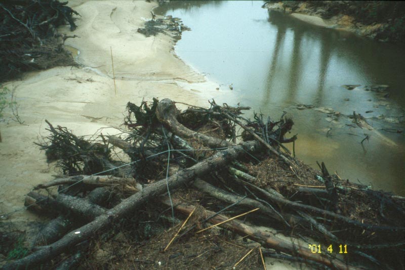
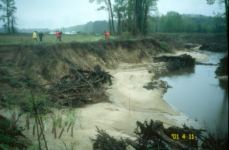
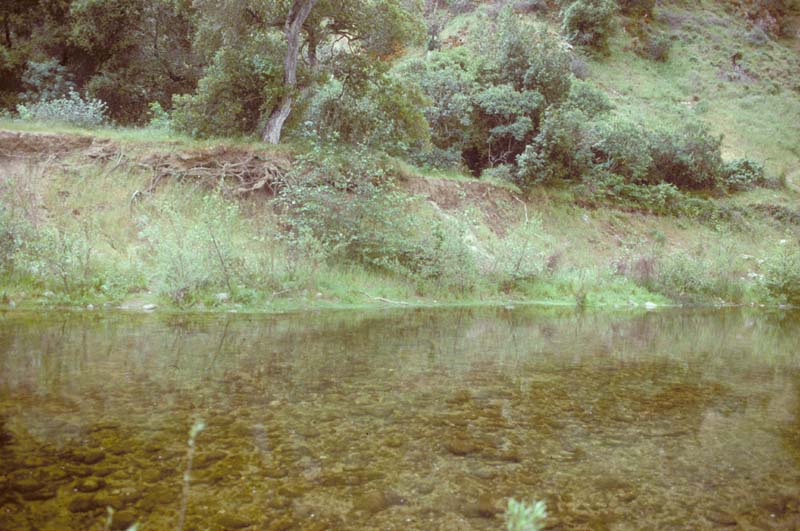
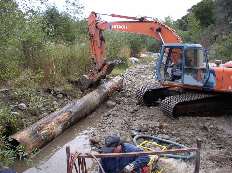
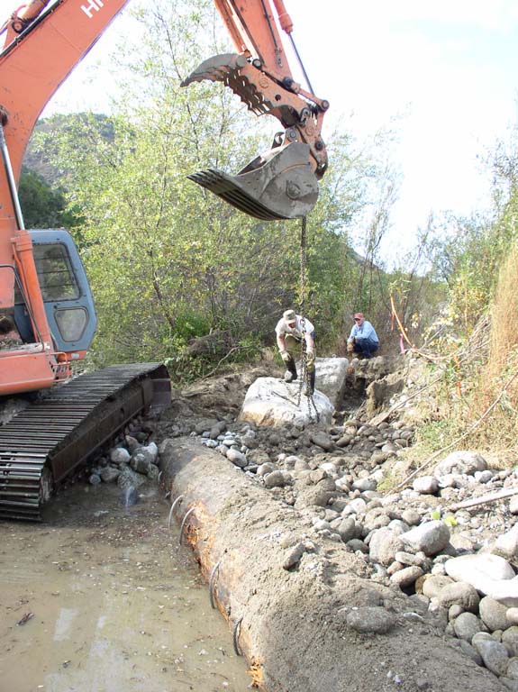
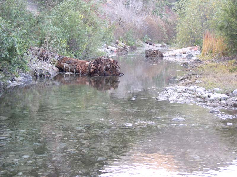
Photo Series Courtesy
of Monterey Peninsula Water Management District

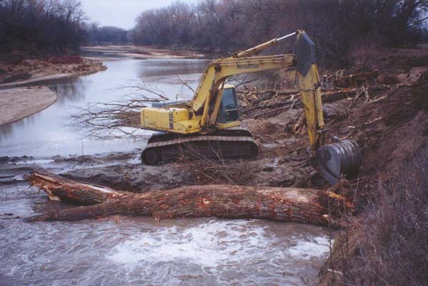
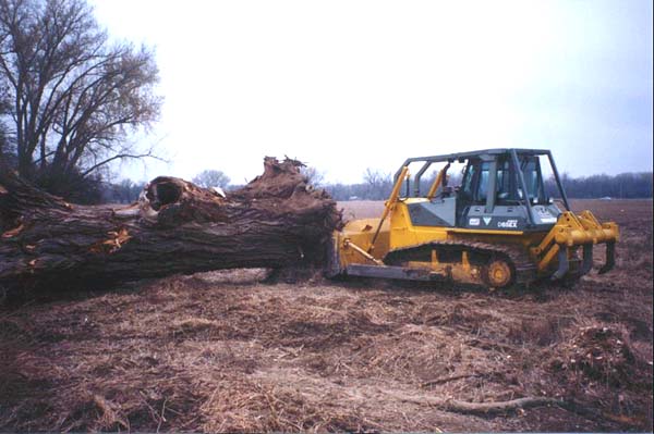
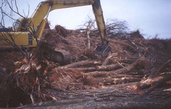
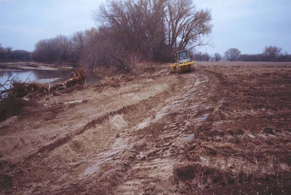
Tree Revetment, Kansas. Courtesy Phil
Balch, The Watershed Institute
Workshop Notes, Courtesy
David Derrick, USACE